A series of powerful earthquakes struck Monday in the northern tip of British Columbia near the border with Alaska and Yukon.
No injuries or serious damage have been reported so far.
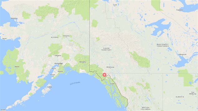
The U.S. Geological Survey says a 6.3-magnitude quake hit 85 kilometres west-northwest of Skagway, Alaska at about 7:18 a.m. local time (14:18 UTC) at the depth of 2.2 kilometres.
This was the latest in the series of at least a dozen tremors that shook the area since a 6.2-magnitude quake shook residents of Whitehorse out of their beds at about 5:31 a.m. local time (12:31 UTC). It was centred 88 kilometres west-northwest of Skagway at a depth of 2.2 kilometres. Natural Resources Canada estimated the depth of the quake at 10 kilometres.
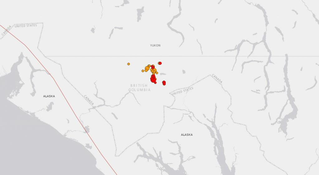
A series of earthquakes – marked by orange and red dots – struck near the border between British Columbia, Yukon and Alaska on Monday morning, May 1, 2017. (US Geological Survey)
Several Twitter users reported feeling tremors, including many in Whitehorse, about 180 kilometres away.
Waking up this morning really rocked my world! 6.2 #earthquake originating just south of #Whitehorse #Yukon. Aftershocks still happening. pic.twitter.com/P3Ans2pgbf
— pj johnson Yukon (@pjjohnsonYukon) May 1, 2017
It seems the clay cliffs are sloughing a bit following the quakes. #Whitehorse #Earthquake
— Doug Rutherford (@dougrutherford) May 1, 2017
#earthquake #Whitehorse #Yukon This is crazy another major hit. #Aftershocks #BeSafe everyone
— TMiller (@VancouverVoodoo) May 1, 2017
7:20 AM and we just had another house shaker. Really hoping everyone in Alaska is OK! #Whitehorse #earthquake
— Kalin Pallett (@KalinPallett) May 1, 2017
#earthquake heavy aftershock again… #whitehorse…. Almost same strength…
— JackW (@jack4614) May 1, 2017
Some damage to roads in Copper Ridge from Skagway #earthquake #yxy #whitehorse #yukon pic.twitter.com/0ipBJl8GQ8
— Liz Hargreaves (@LizHargreaves) May 1, 2017
More to come…
With files from CBC News


For reasons beyond our control, and for an undetermined period of time, our comment section is now closed. However, our social networks remain open to your contributions.