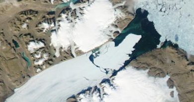
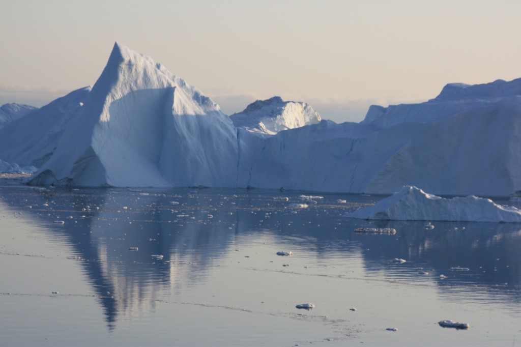
Ice-Blog: Keeping Greenland in focus
Two interesting publications relating to Greenland caught my eye over the past few days.
But it has not proved easy to get them onto the international news agenda. Given the huge importance of the Greenland ice sheet to the planet’s future, this is frustrating to say the least. Fortunately there is the Ice Blog.
The first research relates to a study about the role of ash from fires in bringing about large-scale surface melting. The other predicts Greenland will be a far greater contributor to sea rise than expected.
Let me start with the latter, published in Nature Geoscience. Scientists from the University of California – Irvine and NASA glaciologists have found previously uncharted long deep valleys under the Greenland Ice Sheet. Since these bedrock canyons are well below sea level, they are much more vulnerable to warm ocean waters than previously thought. When warmer Atlantic water hits the fronts of hundreds of glaciers, the edges will erode much further than previously assumed, releasing far greater amounts of water.

Ice melt from the subcontinent has already accelerated, as warmer marine currents have migrated north, the authors say. Older models predicted that once higher ground was reached in a few years, the ocean-induced melting would halt. Greenland’s frozen mass would stop shrinking, and its effect on higher sea waters would be curtailed.
“That turns out to be incorrect. The glaciers of Greenland are likely to retreat faster and farther inland than anticipated – and for much longer – according to this very different topography we’ve discovered beneath the ice,” says lead author Mathieu Morlighem, a UC Irvine associate project scientist, on the university website. “This has major implications, because the glacier melt will contribute much more to rising seas around the globe.”
To obtain the results, Morlighem developed what he says is a breakthrough method that for the first time offers a comprehensive view of Greenland’s entire periphery. It’s nearly impossible to accurately survey at ground level the subcontinent’s rugged, rocky subsurface, which descends as much as 3 miles beneath the thick ice cap.
Since the 1970s, limited ice thickness data has been collected via radar pinging of the boundary between the ice and the bedrock. Along the coastline, though, rough surface ice and pockets of water cluttered the radar sounding, so large swaths of the bed remained invisible.
Measurements of Greenland’s topography have tripled since 2009, thanks to NASA Operation IceBridge flights. But Morlighem says he quickly realized that while that data provided a fuller picture than the earlier radar readings, there were still major gaps between the flight lines.
To reveal the full subterranean landscape, he designed a novel “mass conservation algorithm” that combined the previous ice thickness measurements with information on the velocity and direction of its movement and estimates of snowfall and surface melt.
The difference was dramatic, says Morlighem. What appeared to be shallow glaciers at the very edges of Greenland are actually long, deep fingers stretching more than 100 kilometers (almost 65 miles) inland.
“We anticipate that these results will have a profound and transforming impact on computer models of ice sheet evolution in Greenland in a warming climate,” the researchers conclude.
“Operation IceBridge vastly improved our knowledge of bed topography beneath the Greenland Ice Sheet,” said co-author Eric Rignot of UC Irvine and NASA’s Jet Propulsion Laboratory. “This new study takes a quantum leap at filling the remaining, critical data gaps on the map.”
Other co-authors are Jeremie Mouginot of UC Irvine and Helene Seroussi and Eric Larour of JPL. Funding was provided by NASA.
This is the same team that reported on accelerated glacial melt in West Antarctica, as discussed in an earlier Ice Blog post. Together, the papers “suggest that the globe’s ice sheets will contribute far more to sea level rise than current projections show,” Rignot said.
Indeed. These scientists are telling us the IPCC forecasts were way too low. This could have huge consequences for coastal communities all around the globe.
Unfortunately, a lot of people (even those you would expect to know better) tend to mix up “Arctic” and “Antarctic”. It all goes into the category of “melting ice”, and they think they have heard it all before. What they still don’t realize is that this is something that concerns us all, and that these two polar areas are of huge significance to the world climate as a whole and global sea level. When those two Antarctic studies were released, there was a flurry of news coverage. The challenge for us journalists is how to follow this up and stop the attention curve from dropping.
The other interesting piece of recent Greenland research was conducted by the Dartmouth College Thayer School of Engineering and the Desert Research Institute and reported in the Proceedings of the National Academy of
Sciences. It concludes that ash from Northern hemisphere forest fires combined with rising temperatures to cause large-scale surface melting of the Greenland ice sheet in 1889 and 2012.
The researchers say their findings contradict conventional thinking that the melting was driven by warming alone.
The findings suggest that continued climate change will result in nearly annual widespread melting of the ice sheet’s surface by the year 2100.
Melting in the dry snow region does not contribute to sea level rise, but when the meltwater percolates into the snowpack and refreezes, the surface is less reflective. This reduces the albedo.
Let me give the (almost) last word to the study’s lead author Kaitlin Keegan.
“With both the frequency of forest fires and warmer temperatures predicted to increase with climate change, widespread melt events are likely to happen much more frequently in the future”.
It figures.