Blizzard expected over Finland on Monday
A storm is to arrive on Finland’s southern and south-western coasts around midnight, bringing more than 15 cm of snow to many areas.
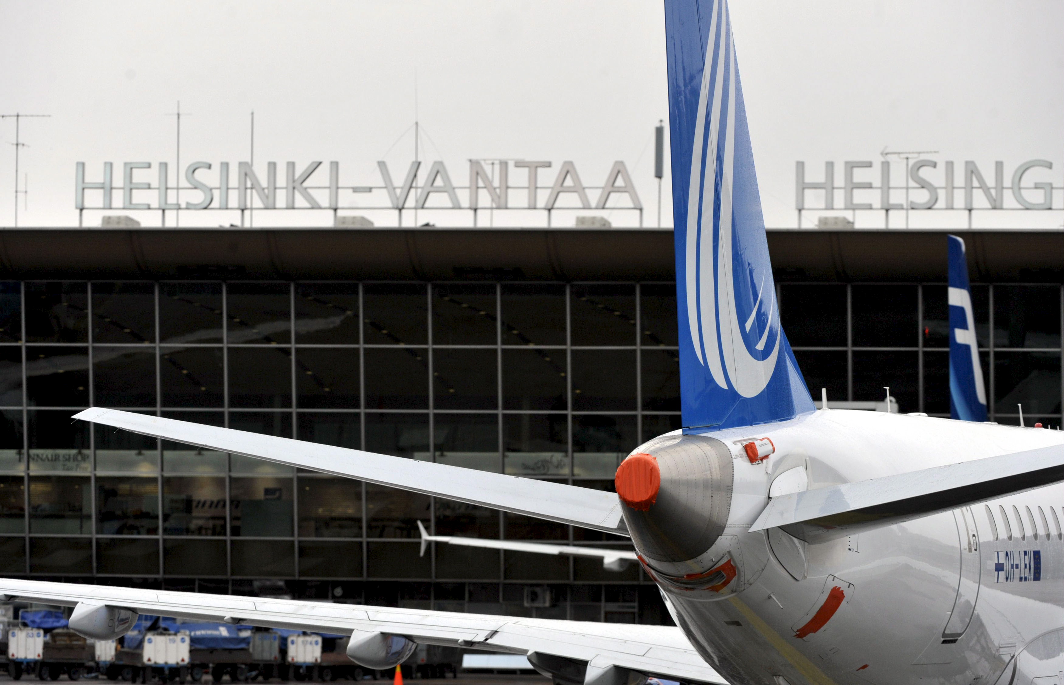
Nine flights have arrived late at Helsinki Airport due to snowfall elsewhere in Europe. A blizzard is set to hit Finland on Monday night, bringing poor road conditions throughout the country.
On Sunday hundreds of flights were cancelled in Western Europe due to a snowstorm that hit the UK, the Netherlands, Germany and other countries. There were still significant delays on Monday in many parts of Western Europe.
Annika Kåla, communications director at Finnish airport operator Finavia, told Yle that nine flights landed at Helsinki Airport behind schedule due to snow delays in other parts of Europe.
The airport is gearing up for snow expected to arrive in southern Finland around midnight.
“We’re ready, and we’re aware that there will be a lot of snow. Helsinki Airport’s runway maintenance is at full readiness,” said Kåla.
Roads becoming slippery overnight
Driving conditions may become extremely poor in the early hours of Tuesday throughout Finland, warns the Finnish Meteorological Institute (FMI). No significant precipitation is expected during the day on Monday, except a few flakes in the far north-west. However a powerful low-pressure system is expected to move in from the south-west, bringing snowfall overnight.
Southern and central Finland – which now mostly have bare ground or less than 10 cm of snow – could pick up more than 15 centimetres of new snow. There will be less accumulation further north. On Tuesday evening the precipitation will change partly to rain in southern Finland.
Snow in archipelago by afternoon
On Wednesday the low-pressure area is to move to northern Finland, bringing 5-10 cm of new snow. Most of the region now has between 25 and 50 cm on the ground, with deeper cover in the far north-west. Wednesday should be a mostly dry day in southern and central areas.
Driving conditions may already become poor on Monday in south-western Finland and parts of Lapland. Snowfall is expected to begin in the Åland Islands by late afternoon, and in the inner archipelago during the evening, hitting the south coast around midnight.
Related stories from around the North:
Canada: Who really built Canada’s first highway to the Arctic Ocean?, Blog by Mia Bennett
Finland: Majority of winter tyres illegal, linked to traffic deaths says Finnish study, Yle News
Sweden: Greens demand total ban on studded tires in Sweden, Radio Sweden
Russia: Challenges ahead for electric car chargers along Europe’s northernmost highway, The Independent Barents Observer
United States: Remote Alaska community to receive state money after Arctic mega-storm, Alaska Dispatch News