Saturday, April 1, 2023
Latest:
  • New exhibition features 2000 years of Inuit art from Canada, Alaska, Greenland & Siberia
  • Ice-cold gloom for Russia’s new super-powerful icebreaker
  • Bad internet persists in the N.W.T. despite federal commitments to improve service
  • Ice decline in Bering Sea could affect carbon export and fish ranges
  • Netflix gets behind big-budget comedy series set in Nunavut
Eye on the Arctic

Eye on the Arctic

Issues affecting circumpolar nations

  • Countries
    • Canada
    • Denmark/Greenland
    • Finland
    • Iceland
    • Norway
    • Russia
    • Sweden
    • USA
  • Categories
    • Environment
    • Politics
    • Society
    • Science
    • Business
    • Art and Culture
  • Longforms
  • Video Reports
  • Regard sur l’Arctique

3D mapping

Environment (USA) General Science Society Society (USA) USA 

Alaska maps released this week are most precise ever

Laurel Andrews, Alaska Dispatch News
Posted: Tuesday, September 6, 2016 at 15:08
0 Comments

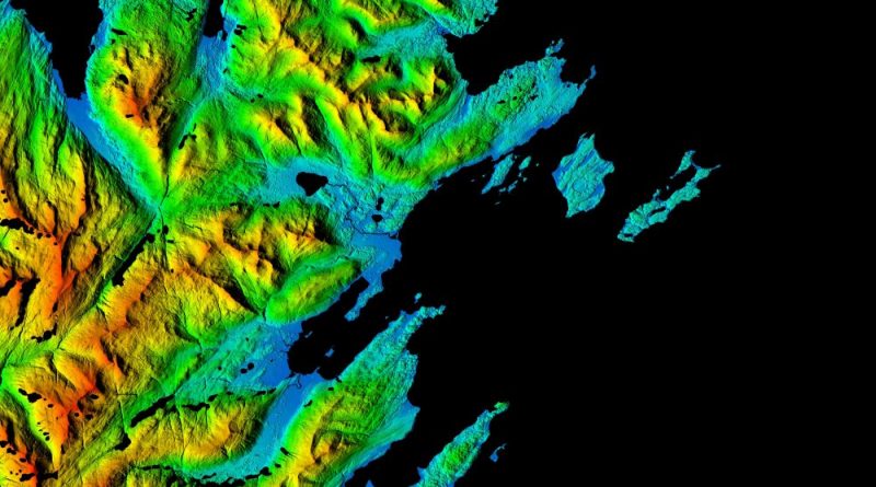
From the Aleutian Islands to the North Slope, Alaska’s massive and varied terrain has now been mapped in an unprecedented

Read more
Watch the 2023 Arctic Winter Games

Feature

The Arctic in Pictures

The midnight sun in the High Arctic
News The Arctic in pictures 

Follow Us

  • Facebook
  • Twitter
  • YouTube

Also on RCI (Chinese)

体验加拿大之北极光下 • Experiencing Canada

Also on RCI (Spanish)

Nunavut in spanish

Also on CBC

CBC North
RCI • Radio Canada International
  • About Us
  • Contact Us

RCI

  • FRANÇAIS
  • ENGLISH
  • ESPAÑOL
  • 中文
  • العربية

Follow us

  • Facebook
  • Twitter
  • RCI | Facebook
  • RCI | Twitter

Resources

  • RADIO-CANADA
    • Conditions d’utilisation
    • Ombudsman
  • CBC
    • Impact and Accountability
    • Ombudsperson
Copyright © 2023 Eye on the Arctic. All rights reserved.
Theme: ColourMag by ThemeGrill. Powered by WordPress.