UN climate report paints picture of hotter Earth, colder Alaska in 2012
 The branch of the United Nations responsible for weather and climate monitoring released its provisional report for 2012 on Wednesday, and it breaks down a year that started out cool before becoming unusually hot, peppered with extreme weather events and record-shattering sea ice melt and growth.
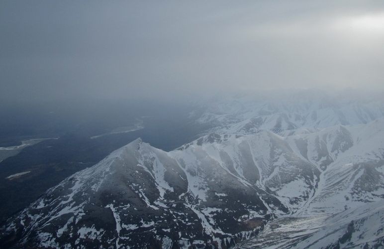
Alaska, though, was one of the few places on the globe that saw temperatures below average.
The report, released by the World Meteorological Organization (WMO) during U.N. climate talks taking place in Qatar this week, examines temperatures, precipitation, snow and ice data, and extreme events like floods and wildfires.
According to the report, a La Niña effect persisting during the early part of the year led to some of the coolest temperatures in 15 years during the first three months of 2012. But the Earth quickly warmed up, and the average temperatures were higher than usual almost everywhere on earth.
“During the first ten months of 2012, above-average temperatures affected most of the globe’s land surface areas, most notably North America, southern Europe, western and central Russia, and parts of northern Africa,” the report said. “However, cooler-than-average conditions were observed across Alaska and parts of northern and eastern Australia.”
The report notes that Alaska had its 19th coolest January-October since record-keeping began in 1918.
That shouldn’t come as a surprise to many Alaskans, who suffered through a cold, wet and often windy spring, summer and fall. The cold weather has persisted in recent months as well, with areas of high pressure hovering over the Interior and some southern portions of the state. Only the Alaska Arctic north of the Brooks Range has enjoyed an unseasonably warm winter so far.
The colder temperatures in Alaska contrasted sharply with the rest of the U.S., which had its warmest spring on record and tied 2011 for the warmest summer, the report said.
Among the myriad extreme weather events around the globe — droughts in the U.S. and Europe, major flooding in Western Russia, and last month’s Hurricane Sandy — the far north had another unusual event this year: record-low sea ice extent.
The Arctic broke the all-time low for sea ice in late August, with weeks remaining in the melting season. And it only got lower from there.
“The difference between the maximum Arctic sea ice extent on March 20th, 2012 and the lowest minimum extent on September 16th was 11.83 million square kilometers (more than 4.5 million square miles) — the largest seasonal ice extent loss in the 34-year satellite record,” the report said.
On the other side of the globe, Antarctic sea ice reached new all time highs, painting a picture of extremes at both of the Earth’s poles.
WMO Secretary General Michel Jarraud said that the climate data of the year so far — especially the unprecedented ice growth and retreat — are worth taking note of.
“The extent of Arctic sea ice reached a new record low,” Jarraud said. “The alarming rate of its melt this year highlighted the far-reaching changes taking place on Earth’s oceans and biosphere. Climate change is taking place before our eyes and will continue to do so as a result of the concentrations of greenhouse gases in the atmosphere, which have risen constantly and again reached new records.”
The full report, containing data for the entire year, will be released in March 2013.
Contact Ben Anderson at ben(at)alaskadispatch.com
For more stories from Alaska Dispatch, click here


