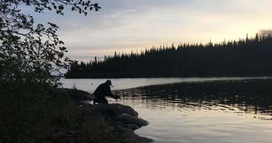
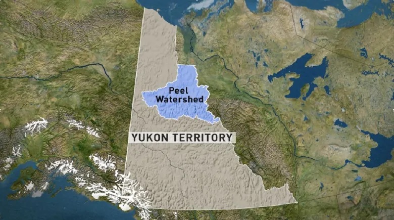
Major land use agreement to be signed in Yukon, northwestern Canada
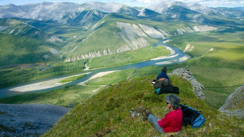
It has taken more than 15 years of consultations, protests, court battles and more consultations — and now a final plan for the future of the Peel Watershed has been set.
The Peel Watershed Regional Land Use Plan will be signed Thursday afternoon by the Yukon government, and the Yukon First Nations of Na-Cho Nyäk Dun, Tr’ondek Hwëch’in and Vuntut Gwitchin, as well as the Gwich’in Tribal Council of the N.W.T.
“The way it finally worked out, to have the interests of the Yukon people and the interests of First Nations in this plan — to have that accepted and prevail — is fantastic,” said David Loeks, who chaired the Peel Planning Commission, the independent body that handled the initial consultation and recommendations.
“To have this legacy of this large landscape well protected is equally wonderful.”
Disagreement between the Yukon government, conservationists and First Nations over how much of the watershed should be protected from industrial development went all the way to the Supreme Court of Canada.
The territorial government was found to have ignored its treaty obligations when, in 2012, it ignored the Peel Planning Commission’s recommendations to protect about 80 per cent of the region from development, and instead presented its own plan that would have seen roughly 30 per cent of the region protected.
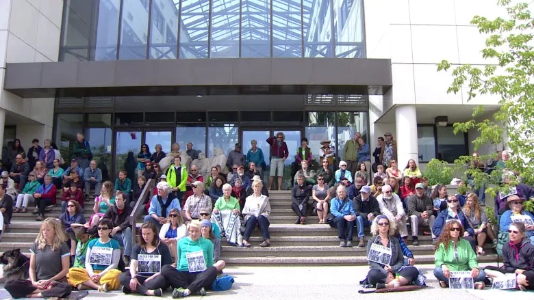
The attempt to subvert the protection of the Peel kicked off a widespread grassroots protest and acted as a flash-point for First Nations-government relations in Yukon.
In 2017, the Supreme Court ordered the territorial government re-start the process and follow its obligations to meaningfully consult First Nations — and respect the recommendations of that consultation. By that time, an election had ousted the Yukon Party, which had brought the controversial plan forward.
The details of the final plan will not be released until after the agreement is signed.
Thursday’s signing ceremony is to take place on the bank of the Stewart River in Mayo, Yukon, at 3:30 p.m. PDT. A series of celebrations are scheduled afterwards, including dinner and music at the community hall and a campfire hosted at the First Nation of Na-Cho Nyäk Dun’s government house. All celebrations are open to the public.
Written by Laura Busch with files from Claudiane Samson
Related stories from around the North:
Canada: New Indigenous protected area created in Northern Canada, CBC News
Norway: Deal protects Arctic waters around Svalbard, Norway from fishing, The Independent Barents Observer
Russia: Island in northwestern Russia becomes nature reserve, The Independent Barents Observer
United States: U.S. government signs new land swap for Alaskan wildlife refuge road, Alaska Public Media