Lapland could see snow next week
Northern Finland is set for a chillier turn following an unusually warm start to September.
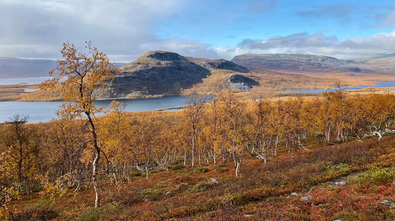
The start of next week hints at winter’s approach, with the northernmost reaches of Lapland likely to see sleet or even snow.
Pinja Rauhamäki, a meteorologist at the Finnish Meteorological Institute (FMI), said rain is possible in Finland early next week, with the northernmost reaches of Lapland potentially seeing sleet or even snow.
“Snow is most likely in the northwestern part of Lapland,” she said.
Long-term records from FMI indicate that the first continuous snow cover typically appears in early October in northern Lapland, and in late September in Finland’s northwestern ‘arm’.
Earlier this month, Lapland experienced unusually high temperatures. On 11 September, most weather stations in the region recorded readings around 20 degrees Celsius, a level normally seen only once every 30 years.
“Temperatures are now returning to the seasonal norm,” Rauhamäki said.
At the beginning of this year, news emerged that the Nordic region’s climate is warming considerably faster than the rest of the world.
Related stories from around the North:
Canada: Fires restricted in much of Yukon as weather warms, CBC News
Finland: Cooler May weather for Finland but spring still warmer overall, Eye on the Arctic
Norway: Svalbard glacier once survived a warmer climate, The Independent Barents Observer