History through Arctic maps
 In January, Foreign Policy Blogs blogger Mia Bennett wrote about current maps and mapping of the Arctic in this popular post.
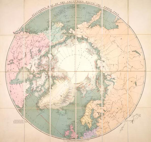
Well, for a different, more historical perspective of Arctic mapping, Canadian Geographic has a terrific online collection.
The featured maps date from 1595 to 1876 .
Each entry has a blurb explaining who did the map and highlights some of its notable features.
To view Canadian Geographic’s feature 10 fascinating historic maps of the Arctic, click here
Write to Eilís Quinn at eilis.quinn(at)cbc.ca


