Tipping point for polar ice cap may have come in 2012
This year may have granted a slight reprieve for vanishing Arctic sea ice, but evidence gathered to date shows that summer shrinkage will likely continue its downward spiral in future years, according to a new paper published in the Oct. 4 edition of the journal Geography Compass.
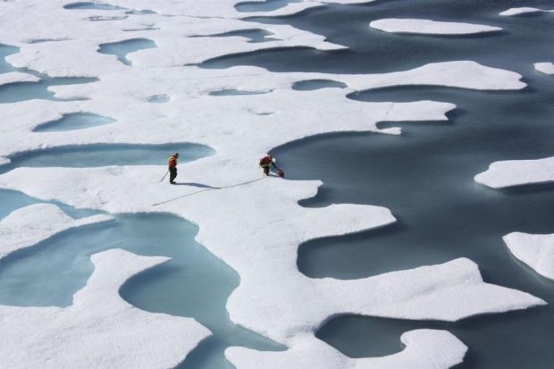
The paper, by Kent State University doctoral candidate Thomas Ballinger and Jeffrey Rogers, a geography professor at Ohio State University, synthesizes information about weather, ocean currents and ice conditions in the Beaufort and Chukchi seas between 2007 through 2012, a six-year period of severe melt. Conditions in those seas appear to have changed for good, the paper says.
“Dramatic reduction in late summer sea ice on these seas occurring in 2007 and subsequent years now appears to be a persistent and permanent feature of the summer Arctic environment,” it says.
Perfect storm for vanishing ice
The paper describes how, in the biggest ice-loss years, weather and ocean patterns aligned into almost a perfect storm to erase large amounts of ice.
That happened in 2007, when a Beaufort Sea high-pressure system persisted all summer, instead of being limited to short spurts, as is typical, Ballinger said in a telephone interview.
The year “was really remarkable” because there was still a lot of thicker multiyear ice around then, he said. Persistent high pressure brought clear skies, though, and intense solar radiation melted ice and was absorbed by the widened stretches of open ocean, where it amplified its effects, he said. That and other factors hammered the 2007 ice, he said. “It really cleared out a lot of that thicker ice,” he said.
Subsequent years showed large ice losses in the Beaufort and Chukchi, though not as bad as 2007. Then last year, the persistent Beaufort Sea high struck with a vengeance, followed by a strong cyclone in August. That helped break up fragile single-year ice that replaced multi-year ice lost in 2007, he said. The result was the lowest Arctic ice cover on record.
Thanks to the weaker nature of the ice, a record low would have been reached in 2012, even without the August cyclone, some scientists argue.
Interplay of sea ice and weather
Scientists for years have studied the interplay between Arctic sea-ice dynamics and Arctic weather, as well as the impact on long-term climate beyond the Arctic.
But any connection between the Arctic ice loss and specific weather events in southern latitudes is a complicated question, Ballinger said. “The link between the ice loss and any particular storm event is kind of hard to match up,” he said.
One recent study suggests sea-ice loss is a culprit in the nation’s biggest weather disaster of 2012. The study, published in the March edition of the journal Oceanography, is titled “Superstorm Sandy: A Series of Unfortunate Events?”
Another study, published by the American Meteorological Society, ties Arctic sea-ice loss to a prediction of more extreme winter-weather events in northern Eurasia.
Contact Yereth Rosen at yereth(at)alaskadispatch.com