Swedish project uses satellites to help spot and monitor wildfires
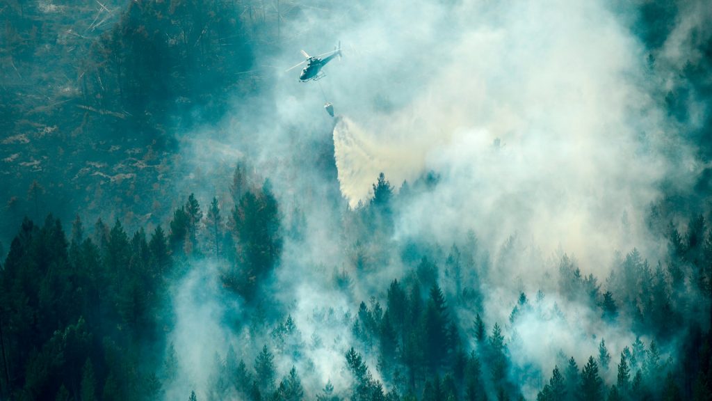
- Wildfires are a common occurrence during the summertime in Sweden and soon satellites might be a common way to help spot them after they start.
- Leif Sandahl is a fire-protection engineer at the Swedish Civil Contingencies Agency who is working on the project that has spotted hundreds of blazes.
- “The satellites help by both telling officials exactly where the fire is burning and how the it develops,” Sandahl tells the Swedish Radio.
Radio Sweden
For more on the new satellite project, listen to Radio Sweden’s full report.
Related stories from around the North:
Canada: Out-of-control wildfire fire threatens cabins northwest of Fort Simpson in Canada, CBC News
Russia: Record breaking temperatures recorded in Arctic Russia, Eye on the Arctic
Sweden: Sweden’s wildfire season later than usual, Radio Sweden
United States: Indigenous wildfire knowledge to be key part of new Arctic Council project, Eye on the Arctic