It’s known as a Pineapple Express. That’s a sub-tropical storm that moves up the west coast of North America and brings torrential rain and eventually snow as it moves further north into British Columbia.
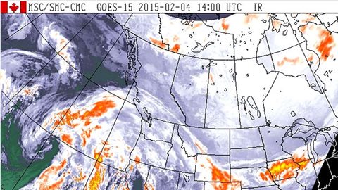
The Vancouver area is expecting rainfall beginning Thursday afternoon, followed by a second wave overnight and into Friday. 75 millimetres of rain are expected to fall on most areas by Friday, with up to 150 mm expected on the west coast and inland parts of Vancouver Island. The rain will continue on Saturday.
Not good news for skiers
Wet snow is forecast for the Whistler ski resort, becoming rain as the warmer air moves in, pushing freezing levels up around 2,000 metres. In the Central and Northern Interior, up to 15 centimetres of snow is expected by Thursday night, with more forecast for Friday. These conditions, have raised avalanche warnings to ‘high’.
‘Snowmaggedon’ on the east coast
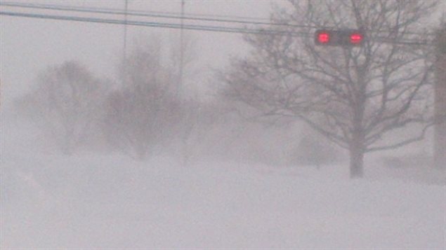
Meanwhile, on the east coast, people are still digging out from the onslaught of three consecutive snowstorms in the last 10 days. In Charlottetown, Prince Edward Island, people are still digging out cars and sidewalks from the 74 cm that fell on Monday night, and now forecasters are warning of another 20 cm snow and blowing snow beginning tomorrow.

Over 117 centimetres of snow has fallen in Prince Edward Island in the last 10 days. Now the tiny island province has received as much snow as the total for the 2013/14 season.


For reasons beyond our control, and for an undetermined period of time, our comment section is now closed. However, our social networks remain open to your contributions.