Blog: Field notes from Greenland – The road to the ice
The Greenland Ice Sheet covers 81 percent of the country’s terrain and is the second-largest body of ice in the world, after its counterpart in Antarctica.
Most of the ice sheet’s terminate in the ocean, but some end on land. Kangerlussuaq happens to be located only 25 kilometers from the ice sheet’s edges on land, and since the town is also quite a ways from the ocean, it’s one of the farthest inland settlements in Greenland. Another distinction Kanger enjoys is that it is the only place in Greenland where you can walk – and, it was once planned, drive – onto the ice sheet.
In the late ’90s, the seemingly now-defunct car testing company Nausta decided to build a 30-kilometer dirt road from Kanger to the ice sheet. Swedish company Skanska’s Greenlandic entity completed construction on the road in 2001. European car manufacturers like Volkswagen and Audi made plans to begin testing cars up on the ice, for they wanted to know how their cars would operate in near-freezing temperatures.
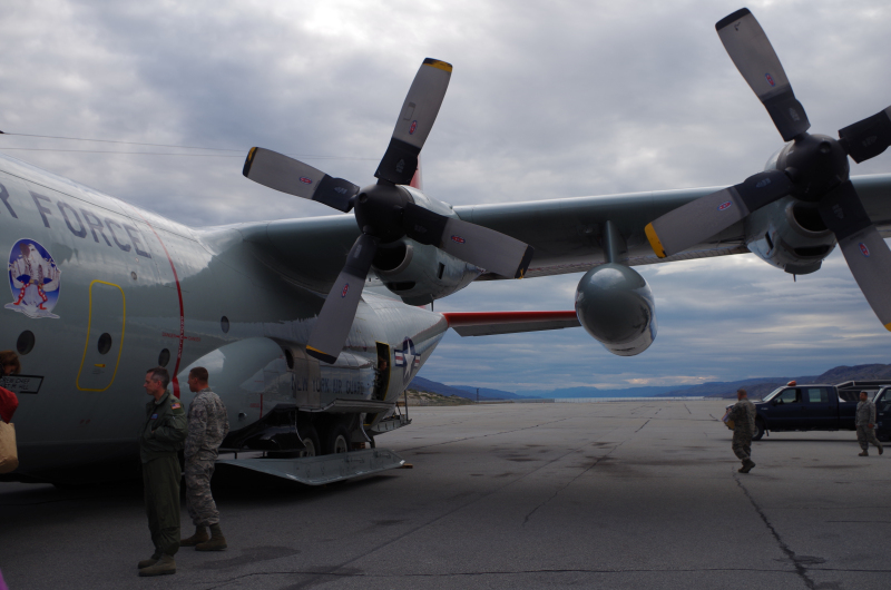
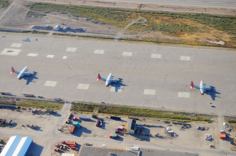
According to an article in a 2000 edition of the government-published This is Greenland, “Iceland and Canada were considered for the task, but didn’t have the right stuff – the ice there wasn’t hard enough.” Aside from having rock-hard glaciers nearby, Kanger also has an airport with a runway large enough for the big airplanes that would ferry the cars from their European manufacturers to Greenland. From Kanger, with the road, it’s just a one hour drive to the ice sheet. In Iceland, by contrast, the air hub in Keflavík is several hours from the Vatnajökull ice cap by car. And for the car companies, which need to maintain every edge and secret within the competitive business of automobile engineering, Greenland certainly is hard to beat in the “remote” and “inaccessible” departments, helping to deter nosy reporters, car enthusiasts, and industrial spies.
As if the dirt road to the ice sheet was not enough, Nausta also intended to build a 150-kilometer track on the ice itself to its testing facility. An article in the Danube Messenger (in German) noted that the test site would have a hotel and cafeteria for approximately 40 employees and a 900 square-meter workshop for the automobile prototypes. There would also be a “small power plant, storage and waste container,” but none of this ever saw the light of day.

The project was abandoned in 2006 for reasons that are unclear, but probably easy to surmise when it comes to far-fetched megaprojects launched in the Arctic: cost overruns, remoteness, and challenging weather, to name a few. It’s nowadays impossible to drive a normal car from the road onto the ice sheet, as the glacier is retreating and leaving massive moraines – basically huge piles of dirt – in its wake. A Caterpillar bulldozer managed to make it up the road to the area where tourists can walk onto the ice, and the rusting piece of equipment has to constantly shift earth to clear the feeble pathways. The tourist attraction looks more like an industrial wasteland than the postcard-perfect image many tourists have in their heads of blue-white glaciers.
The Greenlandic government was a big booster of the Nausta project. Its publication cheerfully observed that “VW’s public relations staff will be able to use the hefty argument that the company’s cars are tested on the Greenland Ice Cap,” a statement which seem almost politically incorrect today, just 13 years later, due to increased awareness about the fragility of Arctic environments. In seeking out foreign investment, perhaps Greenland optimistically expected that Nausta, which already operated a car testing facility in northern Sweden where the industry is a big business, could deal with the challenges of working in the Arctic. But apparently, this wasn’t the case when it came to Kanger. The town was left with a road but no car testing facility, though this was probably for the best outcome for the integrity of the environment around the settlement. Already, it has been polluted by decades of military waste, the ongoing weekly burning of the town’s trash, and the dumping of sewage into the Watson River (so much for pure Arctic environments).
Nausta’s ill-fated project could have ended up being a road to nowhere. Happily, however, it has brought benefits to Kanger by turning into both a tourist attraction and now-indispensable road for scientists studying the ice sheet. In a country where helicopters cost $5,000 an hour, being able to drive to the ice saves a huge amount of money. The road is Greenland’s longest, and as it goes from the airport to the ice sheet, it makes for a good day trip. I’ve now driven up and down the road four times and run about half of it, and it is stunningly scenic, curving through the Isunngua highlands carpeted by tundra and alongside a glacially-fed river. The jagged crevasse fields of the ice sheet peak out at numerous turns. Many tourists make the drive with the local tour operator Arctic Circle during their layovers between Copenhagen and onward destinations in Greenland. Half marathons, marathons, and bike trips also all now take place on the road. Local residents might have benefited more from a road to the nearby big city (in Greenlandic terms) of Sisimiut 130 kilometers away on the west coast, for there are still no roads between any two inhabited settlements in Greenland. Yet at the very least, they can still make use of the road to the ice, especially the hunting guides who use it to access areas of the tundra inland from Kanger where muskox and caribou roam. And while fancy German cars can’t make the drive up the road onto the ice, all-terrain vehicles can, attracting off-road adventurers to come to Greenland. The environmental impact of Greenland’s longest road is unclear, but at the very least, the economy of what’s still mainly an airport town has diversified thanks to the construction of the road.
This post first appeared on Cryopolitics, an Arctic News and Analysis blog.


