When Arctic storms come one after another, sea ice takes twice the hit: study
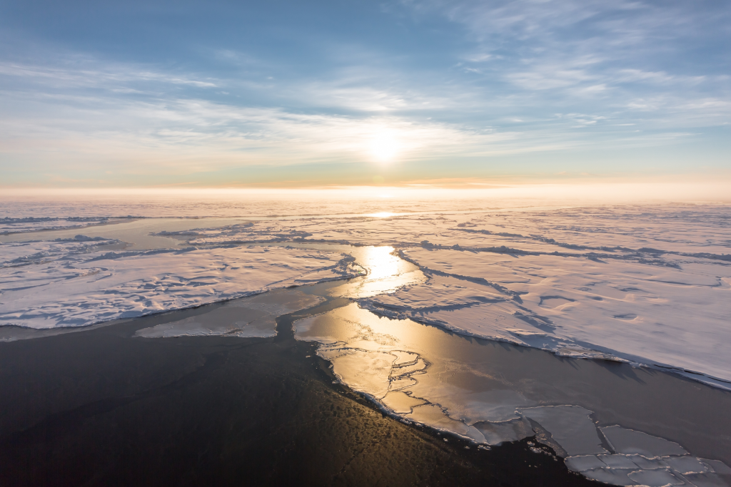
Arctic storms that pass quickly, one after the other, cause about twice the reduction in sea ice cover as single storms, says a new study published this month.
The storm phenomenon, known as cyclone clustering, also affects sea ice for about two-and-a-half times longer than isolated storm events, the researchers found.
To do the study, published this month in the journal Nature Communications, researchers examined satellite and weather data from 1979 to 2024, to track how sea ice changed when hit by successive clusters.
During cold Arctic winters, cyclones can break up the ice cover into floes that drift and collide with each other. The polar cold, however, usually refreezes the gaps between them within a few days.

Lars Aue, lead author of the study from the Alfred Wegener Institute, Helmholtz Centre for Polar and Marine Research (AWI), said some of the findings were unexpected.
“I was, for example, surprised to see how frequent cyclone clustering is in the Arctic,” he said in an email exchange. “In some parts of the Arctic, actually more than half of all cyclones in winter occur in clusters.”
The growing impact on sea ice also surprised the researchers.
“And we found that the impact on sea ice had strongly intensified throughout the last decades, which we also did not expect, at least not in that order of magnitude,” he said.
Impacts continue outside of winter
But even in warmer months, when cyclone clusters are generally weaker, they can still have a big local impact on the ice.
Their force, even then, can pushing floes northwards and carring warmer air with them that further contributes to melting.
“Furthermore, they can also transport warmer seawater from deeper layers to the surface, causing the upper water masses to warm up,” AWI said in news release about the research. “Over the last two decades, cyclones have thus contributed to ice loss, particularly towards the end of the melting season.”
And as sea ice becomes thinner and more mobile as the climate warms, the impact of cyclone clusers could become even more pronounced.
“We could be entering a self-enforcing feedback loop: the weaker the sea ice becomes, the more cyclone clusters can reduce its extent, which in turn weakens the sea ice,” Aue said.
The study’s findings can help contribute towards future sea ice predictions, especially important for Arctc communities where sea ice as buffer against waves, and where ice retreat could leave coastal communites more vulnerable to storms, Aue said.
What it means for the Canadian Arctic
Cyclone clusters aren’t distributed evenly across the Arctic, Aue said.
The Barents Sea on the Atlantic side of the Arctic Ocean and the Bering Sea on the Pacific both sit near the ends of winter storm tracks that steer cyclones north from lower latitudes, making them two of the main hotspots, he noted.
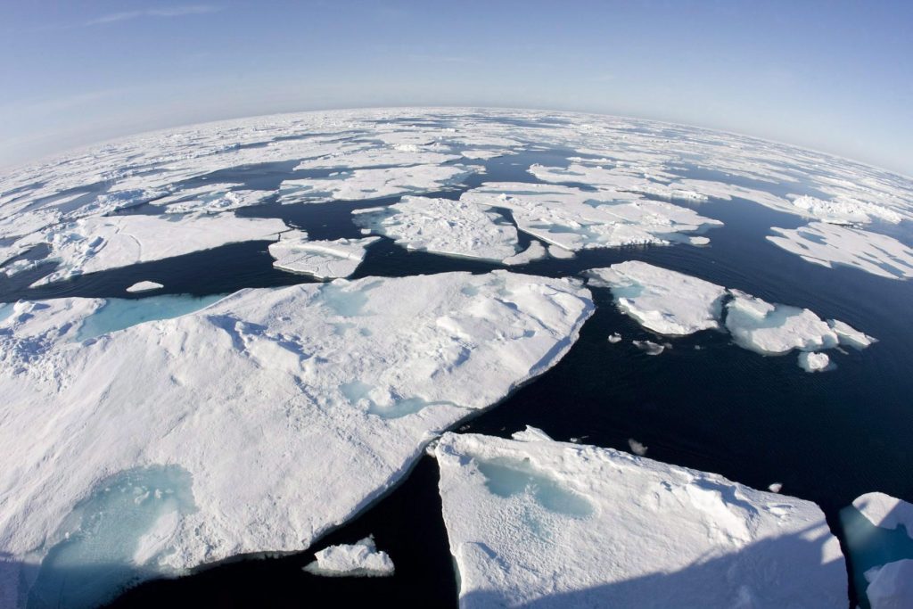
Compared with those regions, cyclone clusters in the Canadian Arctic occur less often and are less intense, but that doesn’t mean sea ice in Canada is immune to their effects.
“They can nonetheless cause strong reductions in regional sea-ice extent, specifically in winter in the Labrador Sea and Baffin Bay,” Aue said.
The cluster that sparked the study
For Aue, one cyclone cluster in particular stands out, and not because it was the strongest in the 40+ years of data, but because it sparked the research that led to the paper.
It all started in February 2020, when three intense cyclones moved into the Arctic through the Barents Sea. At the same time, the German research icebreaker Polarstern was frozen into the sea ice as part of the MOSAiC expedition.
Aue was working on his doctoral thesis at the time and wanted to look at how the middle cyclone affected the sea ice, not realizing at first that one cyclone had come just before it while another followed right behind.
“First, the surrounding cyclones made it difficult to isolate the sea-ice signal from my target cyclone, but in the end it was a great example of the strong sea-ice changes that can take place when we have longer than usual storms in the Arctic because cyclones directly follow one another.”
This story has been updated to include an interview with the study’s lead author.
Comments, tips or story ideas? Contact Eilís at eilis.quinn(at)cbc.ca
Related stories from around the North:
Canada: Record warmth, regional contrasts, mark 2025 in Canada’s Arctic: report, Eye on the Arctic
Finland: Unusually balmy June comes on tail of Finland’s record spring warmth, Eye on the Arctic
Greenland: Fires, drought, heatstroke – will this climate emergency tip the scales to action?, Ice-Blog
Norway: Weather above normal for 18 consecutive months, The Independent Barents Observer