Researchers turn to satellite monitoring to count polar bear populations
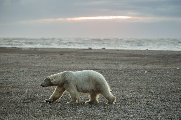
(Loren Holmes / Alaska Dispatch)
For polar bears, iconic Arctic animals that are coping with diminished sea ice and a rapidly-changing habitat, population numbers are important.
But for biologists trying to learn those numbers, the job of counting white bears in a vast white landscape is difficult, expensive and sometimes dangerous.
Now, polar bear researchers from the U.S. Geological Survey and other organizations have found a potential solution — a method of using high-resolution satellite imagery to count polar bears from space.
In a project conducted in part of the Canadian territory of Nunavut and described in a research paper published in Wednesday’s issue of the journal PLOS One, U.S. and Canadian scientists applied satellite imagery technology to an area that was also being surveyed by helicopter, and they compared the findings. The result? Both techniques produced similar estimates for the number of polar bears in the study area.
“The remarkable consistency between our estimates of abundance derived from imagery and established aerial survey techniques suggests that bear identification using imagery was quite accurate,” the study said.
Study conducted in Canada’s eastern Arctic territory of Nunavut
The study took place at Rowley Island in Nunavut’s Foxe Basin in summer, when the area is ice-free and when bears are most visible in that area. The counts were conducted in September 2012, which also happened to be the month when Arctic sea ice hit its record low coverage.
“We selected Rowley as our study site because bear density is high during summer and the flat terrain provides an ideal setting to evaluate the use of satellite imagery,” study leader Seth Stapleton, a former USGS scientist who is now at the University of Minnesota, said in a statement issued by the agency.
Satellite imagery detected what was estimated to be 94 bears, while the aerial counts made by helicopter found 77 individuals, yielding a population estimate of 102 for the island when a model was applied, the study said.
The satellite images were not recorded at precisely the same time the helicopter survey was conducted, said Todd Atwood, research leader for the USGS Polar Bear Research Program. It is possible that some bears moved on or off the island during the lag between the counts, he said. But since the island was surrounded by open water, it is believed that most of the bears on the island would stay in place at that time of the year, he said.
There was “significant overlap” in the confidence intervals around the satellite-imagery counts and the helicopter-survey counts, leading scientists to believe the methods were equally effective in counting bears, Atwood said.
Useful for study of musk ox and caribou
One limitation of satellite imagery was the inability to count cubs, presumed to be too small to be detected by the available resolution, according to the study.
Still, satellite imagery promises to be useful for monitoring other Arctic animals, like musk oxen and caribou, which are dark and stand out against a white, snowy background, the study said.
Atwood said the USGS is now hoping to use satellite imagery to track polar bear populations in the southern Beaufort Sea and, possibly in the future, in the Chukchi Sea.
The technology could be easier on animals as well as people, he said.
“It would certainly be less invasive for the bears,” he said.
The research was conducted as part of the USGS’s Changing Arctic Ecosystems Initiative.
Contact Yereth Rosen at yereth@alaskadispatch.com
Related stories from around the North:
Canada: Polar bears and the ripple effect of climate change, Radio Canada international
Norway: Arctic Norway needs polar bear spotter, The Associated Press
Russia: Russia hosts meeting on polar bears, Eye on the Arctic
United States: Polar bears increasingly coming ashore in Arctic Alaska, Alaska Dispatch