Blog: Obituary for an Arctic river
I haven’t been posting a lot lately, and that’s because I’ve had a hectic schedule over the past month with fieldwork in the Canadian Arctic and conferences and talks on the East Coast of the United States. Now, I’m happy to be back in one place for a little while, which allows me some time to sit, gather my thoughts, and reflect on the latest developments in the Arctic.
Much of the Northern news this week has focused on Russia’s opening of a new Arctic military base on Franz Josef Land, a couple hundred miles east of Svalbard. Fox News took the bait and asked in its headline, “A new Cold War in the Arctic? Russia unveils virtual tour of new military base.” I think the headline answers its own question because if we were on track for a new Cold War, I doubt Russia would be allowing web surfers from around the world to explore the base via its dedicated website (in Russian).
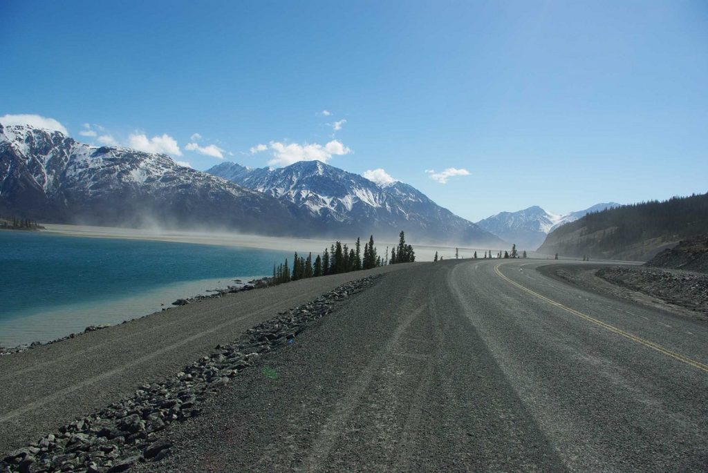
A bigger story this week in terms of rapid Arctic change involves the sudden disappearance of a river in the Yukon, located in Canada’s western Arctic, last spring. In a case of what scientists term “river piracy,” climate-driven glacial retreat caused the glacially-fed Slims River (A’ay Chu, in the native language) to stop flowing north into the Bering Sea and instead west into the Gulf of Alaska. Essentially, the lake on top of the Kaskawulsh Glacier that drained into the Slims River changed its outlet to the previously much smaller Kaskawulsh River. Previously, scientists thought that river piracy happened over the course of centuries. In the Yukon, the drying up of the Slims River happened in a mere four days.
This is the first known instance of post-industrial, climactically-driven river reorganization. The fact that it was “geologically instantaneous,” to use the words of the Nature Geoscience paper’s authors, also suggests that the timescale with which we imagine Arctic climate change is woefully misguided. The retreat of Arctic sea ice, for instance, is usually imagined as taking place over years or decades. For an Arctic river to disappear in a matter of days brings “rapid Arctic climate change” to a whole new level. The authors also urge, “Most studies of the effects of climate change on glacial environments deal with enhanced melt or contributions to sea-level rise. We suggest that the effects can be more far reaching.”
This epic landscape transformation in the Yukon may wreak havoc on downstream ecosystems. The authors also reported that by Fall 2016, months after the river rerouting, “massive afternoon dust storms almost daily on the nearly abandoned Slims River floodplain.” In the future, the picturesque, UNESCO World Heritage-designated lake into which the Slims River flows, Kluane Lake, may even seasonally close. The river and lake, which is the Yukon’s largest, are located in Kluane National Park. This is one of the jewels of Canada’s parks system, containing the country’s tallest peak and the world’s largest non-polar ice field. The Kluane First Nations and other northerners who rely on the lake for sustenance and recreation, along with the fish and other marine species that inhabit it, could all be severely impacted as well.
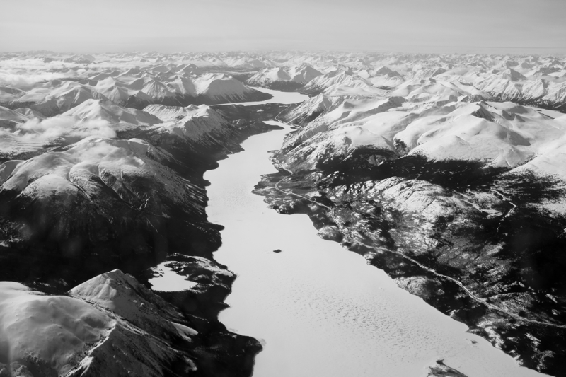
This story of the disappearance of the Slims River hit close to home because just a few weeks ago, I was in the Yukon. I didn’t have much time to get out on the land, but I did see some incredible mountains flying in and out of Whitehorse, the territory’s capital. The dramatic landscape seems too large – larger than life, to borrow Travel Yukon’s official slogan for the territory – for humans to be able to seriously alter it. But alas, as scientists, satellite imagery, and fieldwork confirm, we have.
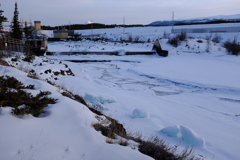
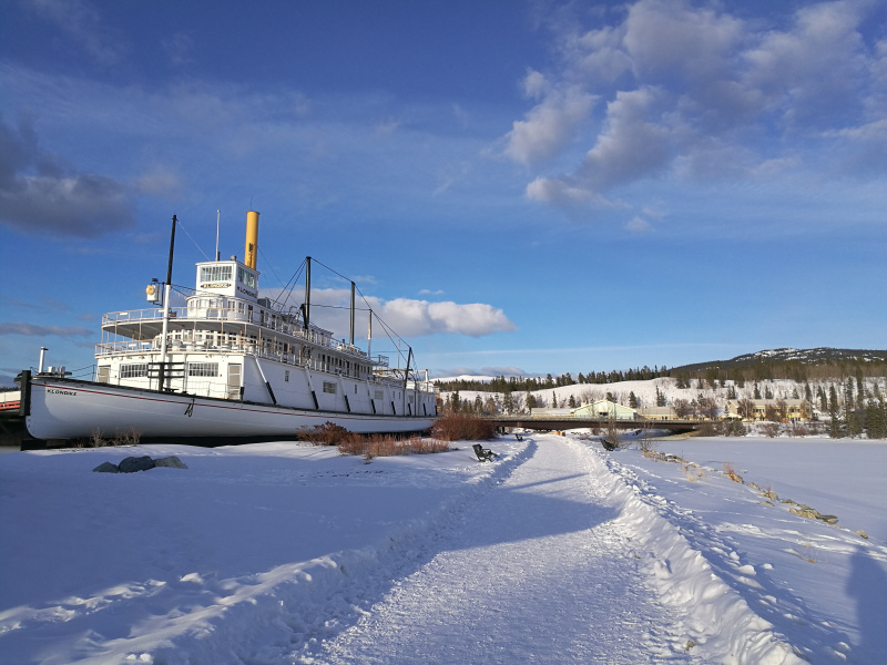
When I was in the Yukon in March, I stayed in the capital, Whitehorse. The city of 23,000 people sits along the Yukon River, which is also glacially fed. I spent a nice evening in late March, when the sun already stays out until close to 9:00 pm, walking along the Millennium Trail that loops around a five-kilometer stretch of the meandering river. The trail turns back towards town at the Whitehorse Hydro Plant, which underscores how rivers and hydropower have become key sources of energy for northern Canada. No rushing river, no spinning turbines, no hydropower.
Like the Slims River, the Yukon River’s headwaters are located in a glacier (Llewellyn Glacier, to be exact, in British Columbia). If the Yukon River hadn’t existed, much of the territory’s development would likely have never taken place whether in prehistoric or industrial times. Rivers have long provided sustenance for northern First Nations like the Holikachuk and the Gwich’in. In the modern era, salmon fisheries have become an important industry, while rivers have also been used as transportation arteries by steamboats sailing between the Yukon and Alaska. These routes were key for opening up the Canadian and American North to gold seekers and miners. By 1899, 30 steamboats were plying the Yukon River alone.
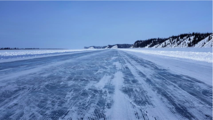
In the Yukon, rivers aren’t as important as they used to be for industrial transport given that most of the territory’s communities are now connected by road. Many roadless settlements in the neighboring Northwest Territories rely on barge transport, however. If one of the NWT’s glacially fed rivers were to dry up, goods would have to be flown in at great cost – or else a gravel road would have to be built great distances across unforgiving terrain. The northern communities of Inuvik and Tuktoyaktuk are already replacing their ice road, built on the frozen Mackenzie River each year, with an all-weather highway that will open later this year. In the Arctic, rivers of gravel are replacing rivers of ice.
Rivers also remain key battlefields in the fight between environmentalists and mining interests. The resource-rich Peel Watershed, which is home to four First Nations, is ground zero for this debate in the Yukon at the moment. The ongoing battle is currently being decided by Canada’s Supreme Court, demonstrating how rivers can serve as organizing forces for both preservationists and developers. If a river like the Peel were to suddenly disappear, however, and turns into a dusty watershed unable to support people, flora, or fauna, then maybe mining will have its day. I suppose this is already happening in the Arctic, where, with sea ice retreating, the response appears to be one of, “Bring in the oil rigs!”
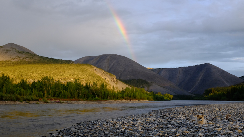
So, to those of you who haven’t experienced the glacial thrill of swimming, fishing, kayaking, or simply picnicking aside a river in the Yukon: get there while you can. I’ll never forget the long day I spent on Canada Day Weekend along the Ogilvie River with friends last summer, casting our lines into the cold water, taking a quick dip in a peaceful river bend, making s’mores under the midnight sun, and seeing a rainbow at two in the morning. Let’s hope more of the Arctic’s rivers don’t disappear anytime soon.
This post first appeared on Cryopolitics, an Arctic News and Analysis blog.

Related stories from around the North:
Canada: World enters ‘uncharted territory’ with record-breaking climate change: UN report, Radio Canada International
Canada: As woody shrubs move north in a warming Arctic, so do beavers, Alaska Dispatch News
Finland: Mild winter temperatures cause damage to roads in Finland, Yle News
Greenland: Arctic sea ice – Is the minimum maximum the new normal?, Deutsche Welle’s Ice-Blog
Norway: January sea ice extent at record low in Barents and Kara seas, The Independent Barents Observer
Russia: Big Russian oil conquers new Arctic region, Alaska Dispatch News
Sweden: Sweden’s glaciers are melting away, Radio Sweden
United States: Arctic river ice formations melting earlier in summer, Alaska Dispatch News