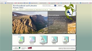
A new interactive website will offer spectacular views of the land and animals in Canada’s eastern province of Newfoundland and Labrador, and provide important geographical information. The Nature Conservancy of Canada and Memorial University collaborated to create the Newfoundland and Labrador Nature Atlas.
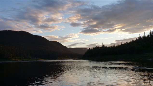
“It is absolutely breath-taking, the scenery,” says Lindsay Notzal, project manager with the Nature Conservancy of Canada. “Less than one per cent is developed so there are huge expanses…of unbroken forest…Wildlife sightings are spectacular.”
ListenThe site will illustrate plants and animals, people will be able to make and print maps and access geographic information system data and there is a group setting so people can share interactive maps with others.
An atlas for everyone
The site is for everyone, says Notzal, from the general public, to students and professors, governments and aboriginal groups. She hopes it will be enjoyable for those who view it, but also it should be a great tool for land us planning, wildlife management, conservation, and resource management.
Official launches of the site will take place in different parts of Newfoundland and Labrador in the first week of December.


For reasons beyond our control, and for an undetermined period of time, our comment section is now closed. However, our social networks remain open to your contributions.