
Snow is forecast for the interior of British Columbia tonight and parts of north-western Alberta.
With temperatures dropping the rain will likely turn to snow according to Environment Canada.
Special weather statements were issued for areas including Fort St. John, Dawson Creek and Prince George, warning of rain turning to snow as the cold front passes.
The precipitation is welcome as these were some of the regions hard-hit by forest fires through the summer, making this year the worst for wild fires in British Columbia history.
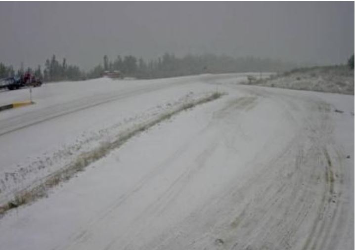
Snow began to fall at Steamboat Hill, west of Fort Nelson, overnight Monday. Environment Canada says the area can expect 5-10 cm for areas over higher terrain and 2-4 cm closer to the community. (Driv eBC/CBC)
On September 7th the B.C. government ended the state of emergency that’s been in place since August 15.
Yesterday it was confirmed that 25 wildfires are still burning.
This after a season that had 2,051 fires reported since April 1, and that have cost the province about $430 million (Cdn).
Summer officially ends on Saturday, September 22, 2018.


For reasons beyond our control, and for an undetermined period of time, our comment section is now closed. However, our social networks remain open to your contributions.