U.S. to collect Arctic data for modern navigational charts
The Office of Coast Survey, part of the National Oceanic and Atmospheric Administration, is one of the U.S. government’s oldest agencies, established in 1807 by Thomas Jefferson to produce navigational charts to guide mariners through the waters surrounding the then-young nation.
Unfortunately for mariners trying to sail the waters of the U.S. Arctic, navigational information for some of those areas is similarly antique.
The U.S. Arctic holds over 426,000 square nautical miles of oceans and bays, and nearly 250,000 square nautical miles are considered critical to navigation, according to the Office of Coast Survey. But less than 1 percent of U.S. Arctic marine territory has been surveyed with modern methods and technology, according to the agency.
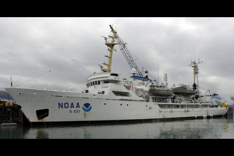
Now, officials are trying to fill in important gaps. Two NOAA ships, the Rainier and the Fairweather, are set to head out of Kodiak this week to continue work on an Arctic charting project initially laid out in a 2011 plan andupdated this year.
“You can open up our Arctic charts and find information from a Russian chart when we purchased Alaska in 1867,” Rear Admiral Gerd Glang, director of the Office of Coast Survey, said in a statement.
Patchwork history
Charts from western Alaska use survey data gathered in the Gold Rush era and the earliest canneries, he said. Aleutians data dates to World War II, he said. Even some of the newer Arctic surveys date back to the 1960s, the era of North Slope oil discovery and peak Cold War tensions.
“NOAA charts in the U.S. Arctic are a patchwork of hydrographic surveys which were motivated by economic development and national defense since before Alaska was a state,” he said. “And you will also find many, many areas which are undersurveyed, or have never been surveyed.”
At the current rate of work, it would take more than 100 years to get 100 percent of U.S. waters surveyed by modern technology, according to Gland. So his office is setting priorities.
“We’ve narrowed down the priorities to about 40,000 square nautical miles — which would still take us decades, using our current resources. So, we examine a couple of factors: ship traffic, economics, and age of our data,” Glang said in the statement.
Possible deepwater port
Among the sites to be surveyed this year is Port Clarence in the Bering Strait, a possible deepwater port that would serve Arctic-going vessels. Kotzebue Sound and Point Hope are also on this year’s list.
In addition, the Fairweather and Rainier are scheduled to gather survey data for a potential Arctic shipping route from Unimak Island in the Aleutians to the Chukchi Sea. And the ships are scheduled to do non-Arctic surveys in portions of southeast Alaska, the Kodiak area and around the Shumagin Islands, NOAA said.
Altogether this year, the ships, with a private contractor’s help, are expected to survey 2,800 square nautical miles, plus about 12,000 linear nautical miles along the Unimak-to-Chukchi route, NOAA said.
Past years’ work by the Fairweather and the U.S. Coast Guard’s ice-breaking cutterHealy provided information used to create three new Arctic charts released last year.
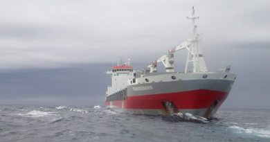
Among them was a new chart for the Delong Mountain Terminal, the port for the hugeRed Dog Mine. The mine, one of the world’s biggest zinc producers, sends its metals concentrate by ferry through an area of shallow waters to larger cargo ships that ply the deep and wide ocean to Asian ports.
Related stories from around the North:
Canada: Interactive atlas shows Inuit trails, Blog by Mia Bennett
Greenland: Mapping and distorting the Arctic, Blog by Mia Bennett
Iceland: Revisualizing the Cryosphere, Blog by Mia Bennett
Russia: Rosneft readies more Kara Sea mapping, Barents Observer
Sweden: Swedish ships mapped at bottom of sea, Radio Sweden