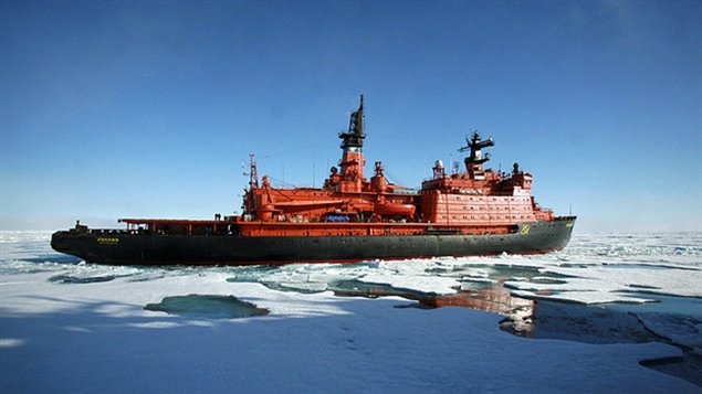
Canada has until Friday to apply for exclusive rights to an expected additional 1.7 million square kilometres of Arctic sea floor. The application comes under the United Nations’ Convention on the Law of the Sea and is a result of a $200-million massive mapping effort.
The Law of the Sea governs which nations exert what kinds of controls on the waters that surround them. Countries have rights to 22 kilometres of waters immediately off their shores and 370-kilometre exclusive economic zones. Beyond that they can claim sea floor if they can show their continental shelf extends beyond their economic zone.
Russia filed this kind of claim in 2002 and Denmark released its claim last week. Canada may claim the North Pole.
Conflicts over these claims are likely to be few. A decision on the claims will probably take another 20 years.


For reasons beyond our control, and for an undetermined period of time, our comment section is now closed. However, our social networks remain open to your contributions.