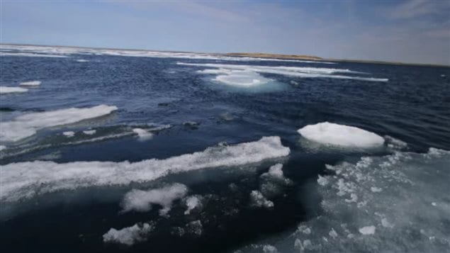
The Colorado-based National Snow and Ice Data Centre has just released its assessment of the Arctic ice extent for this winter.
The NSIDC’s earlier predictions have held true and they say the greatest sea-ice extent this season was on February 25th which also signalled the beginning of the melting season, over two weeks earlier than the 1981-2010 average.
In their data released today, they say the ice extent was a record low; the lowest since satellite recording began some 34 years ago.
The maximum Arctic sea ice extent came in at just over 14.5 million square kilometers, some 1.10 million sq. km below the 1981 to 2010 average of 15.64 million sq. km. and 130,000 sq. km below the previous lowest maximum recorded in 2011.
The news of this record low prompted Greenpeace Canada to call for urgent action on climate change, with an additional warning of the dangers of Arctic oil exploration. Arctic campaign spokesman Farrah Khan said “Offshore oil drilling will only aggravate the already fragile Arctic environment and lead to inevitable oil spills that could destroy Arctic coastlines while at the same time expediting climate change.


For reasons beyond our control, and for an undetermined period of time, our comment section is now closed. However, our social networks remain open to your contributions.